Know the Swell.
Plan Your Session.

Swell exposure analysis and 10-day wave forecasts for any coastal location on Earth - from legendary breaks to hidden gems.

Global coverage
10-day forecasts
Hourly resolution
Free access

Plage de la Gravière  ·  Hossegor, France  ·  Europe's most iconic beach break

Forecast length
10 days
Beaches & breaks
50 k+
Forecast resolution
Hourly
Cost
Free

Read the Ocean at a Glance

Surfsquare packs a lot of information into a compact interface. Here's how to decode every layer of the forecast.

✦ Pro Tip

Day Energy Gradient

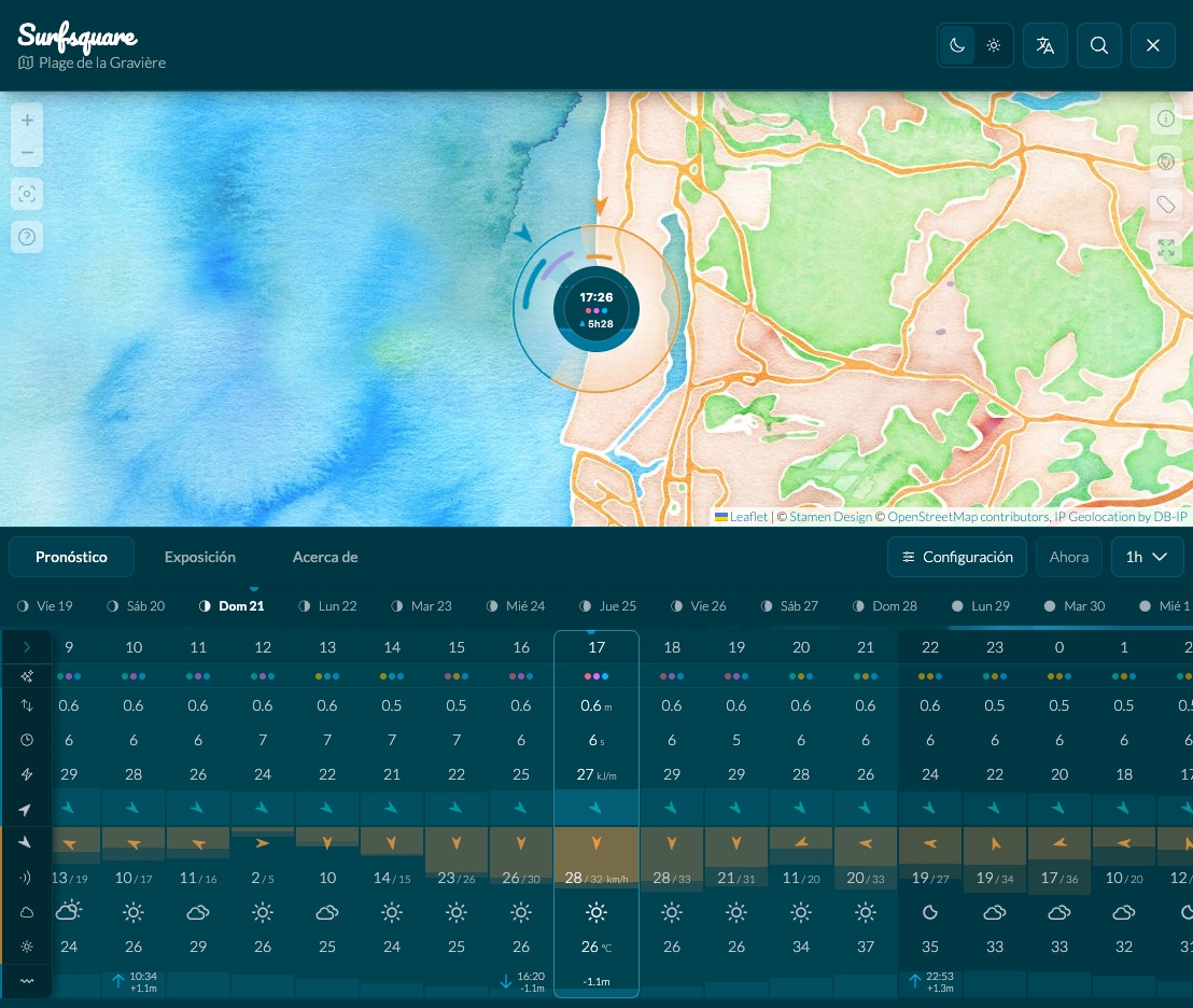
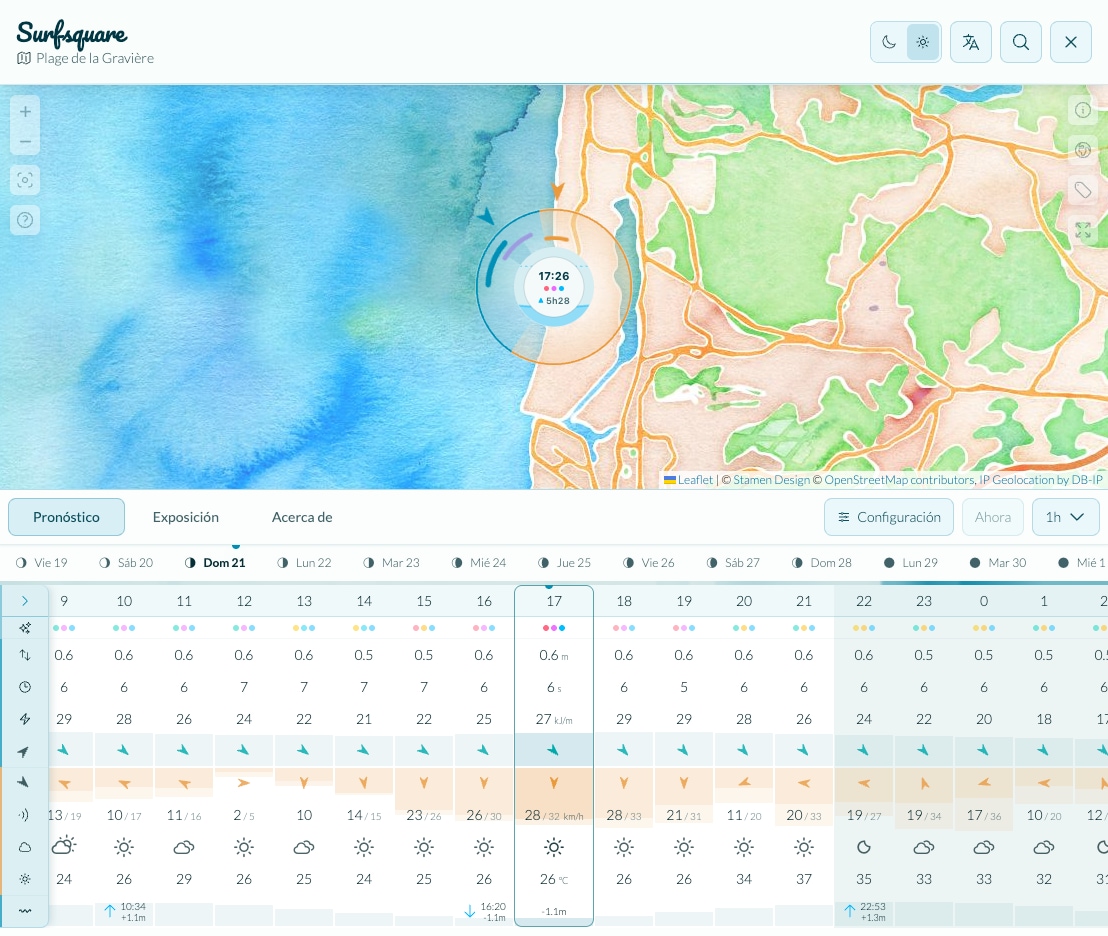
Below each day tab in the forecast header sits a thin gradient bar - one of the most powerful features in the app. Its color encodes the wave energy for every hour of that day: dark tones mean flat or weak swell, while bright cyan signals powerful swell. Glance at the row and you'll instantly know which days are worth getting up for - without reading a single number.

Mon
Tue
Wed
Thu ✦
← low energy high energy →

Wave Power

Height, period, and energy (kJ/m) work together. A 1.5 m wave at 14 s can carry far more punch than a 2 m wave at 6 s. A long period (12 s+) usually means clean groundswell, while a short period (≤ 8 s) points to weaker local wind chop.

Swell Exposure Radar

The circular dial shows your break's swell window. Blue arcs mean the swell can reach you from that direction; orange arcs mean land is blocking it. The arrow shows where the active swell is coming from.

Wind

Orange arrows show wind direction and speed. Offshore (blowing away from shore) grooms the faces and creates that glassy, hollow look surfers love. Onshore pushes against the waves and makes them choppy.

Tides

The bottom row shows tide height alongside the animated water gauge inside the radar center. Many breaks only work at specific tides - high tide can drown a sandbar, while low tide can expose a dangerous shallow reef.

Swell Composition

The arcs on the radar outer ring break swell down into primary, secondary, and wind-wave components. Multiple trains from different directions at once often produce crossed, unpredictable surf - harder to ride and potentially more hazardous.

Insights

The insights indicators summarize what matters for that exact hour at a glance. They combine surface quality, period consistency, and exposure so you can spot clean, aligned windows before diving into every raw number.

Install Surfsquare

Add Surfsquare to your phone's home screen so it opens like an app, straight to the surf map.

iPhone Tap Share, then Add to Home Screen.
Android Open the browser menu, then tap Install app.

Important Information & Disclaimer

Forecast accuracy. Wave, wind, and tide data comes from third-party numerical forecast models and is provided for informational purposes only. Real ocean conditions can differ significantly from model predictions. Always verify with local knowledge and additional sources before entering the water.

Beach reference points, not verified surf spots. Locations in Surfsquare are geographic coastal features - beaches, reefs, and headlands from open mapping data. They serve as reference points for swell analysis only. The presence of a location does not imply it is suitable, safe, or legally accessible for surfing.

Your safety is your responsibility. Ocean conditions change rapidly and without warning. Rip currents, submerged rocks, marine life, vessel traffic, and local regulations are not shown. Never surf beyond your skill level, always surf with others, and respect local rules and the environment.

Surfsquare is provided "as is" without any warranty. The creators accept no liability for decisions made based on data displayed in this application.